Landscapes at every scale.
A considered relationship between place, purpose and the living landscape.
4 projects · All
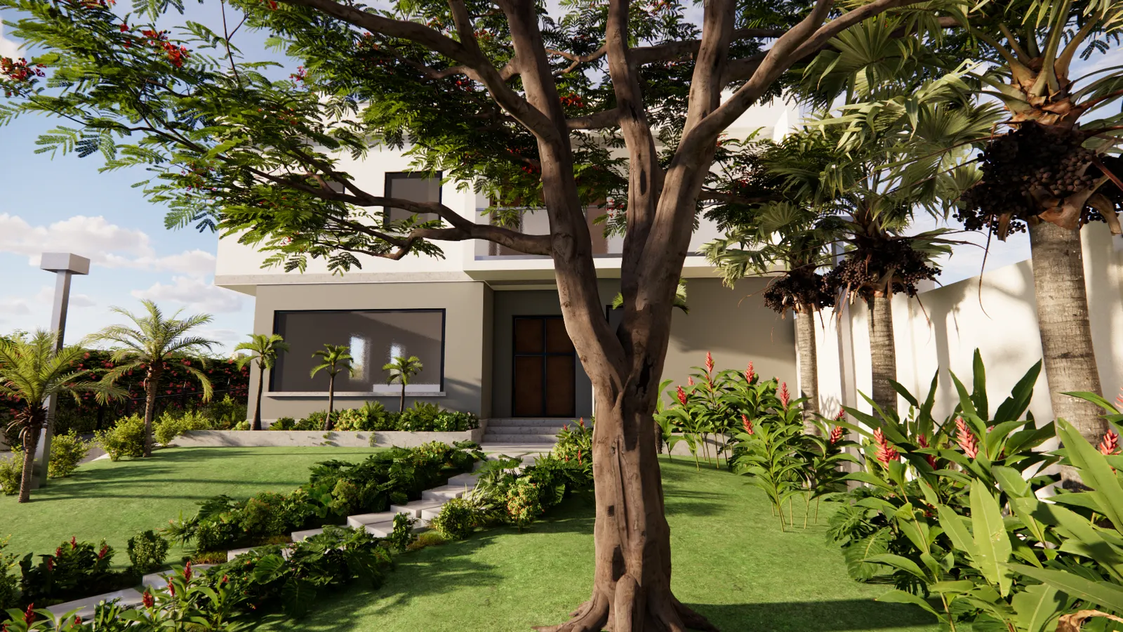 View project ↗
A garden that climbs its hill
Abuja · Residential · 2026
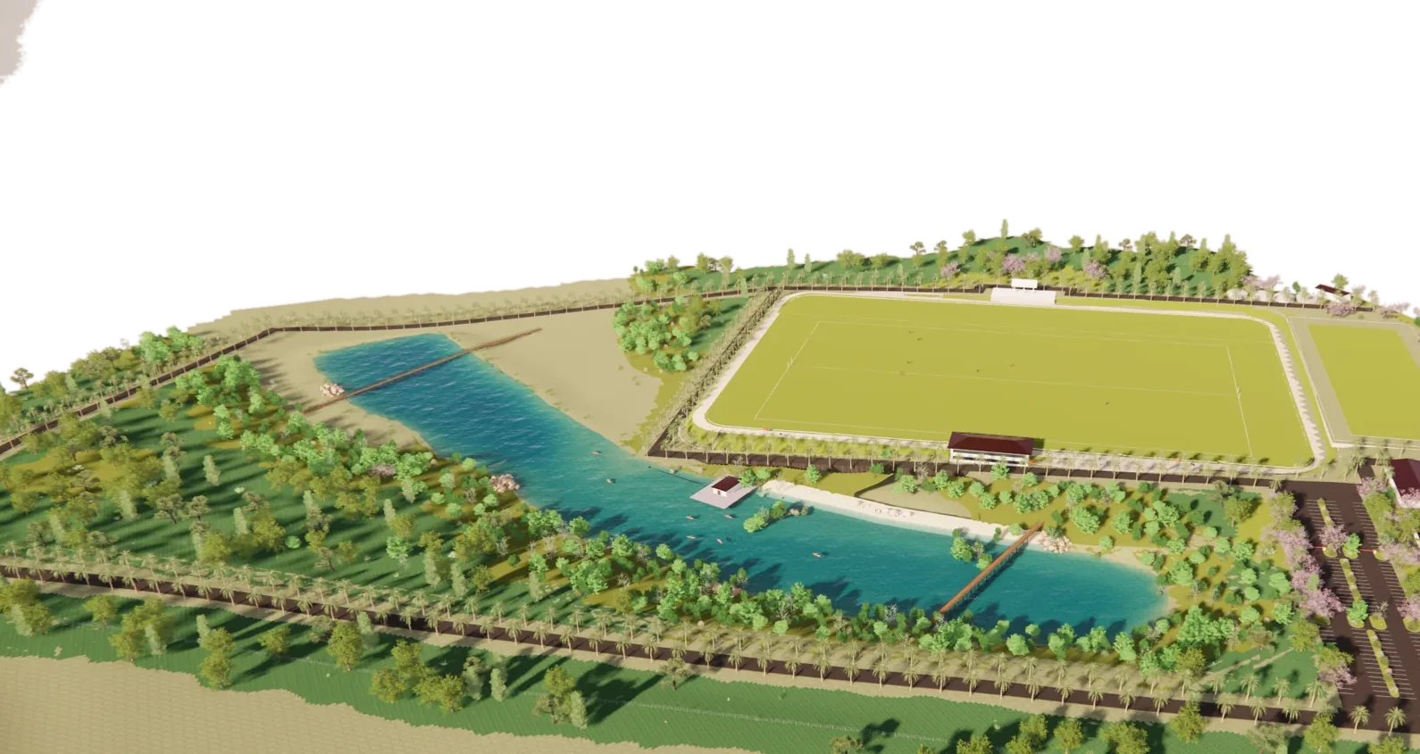 View project ↗
A lake that waters the field
Abuja · Water & landscape · 2026
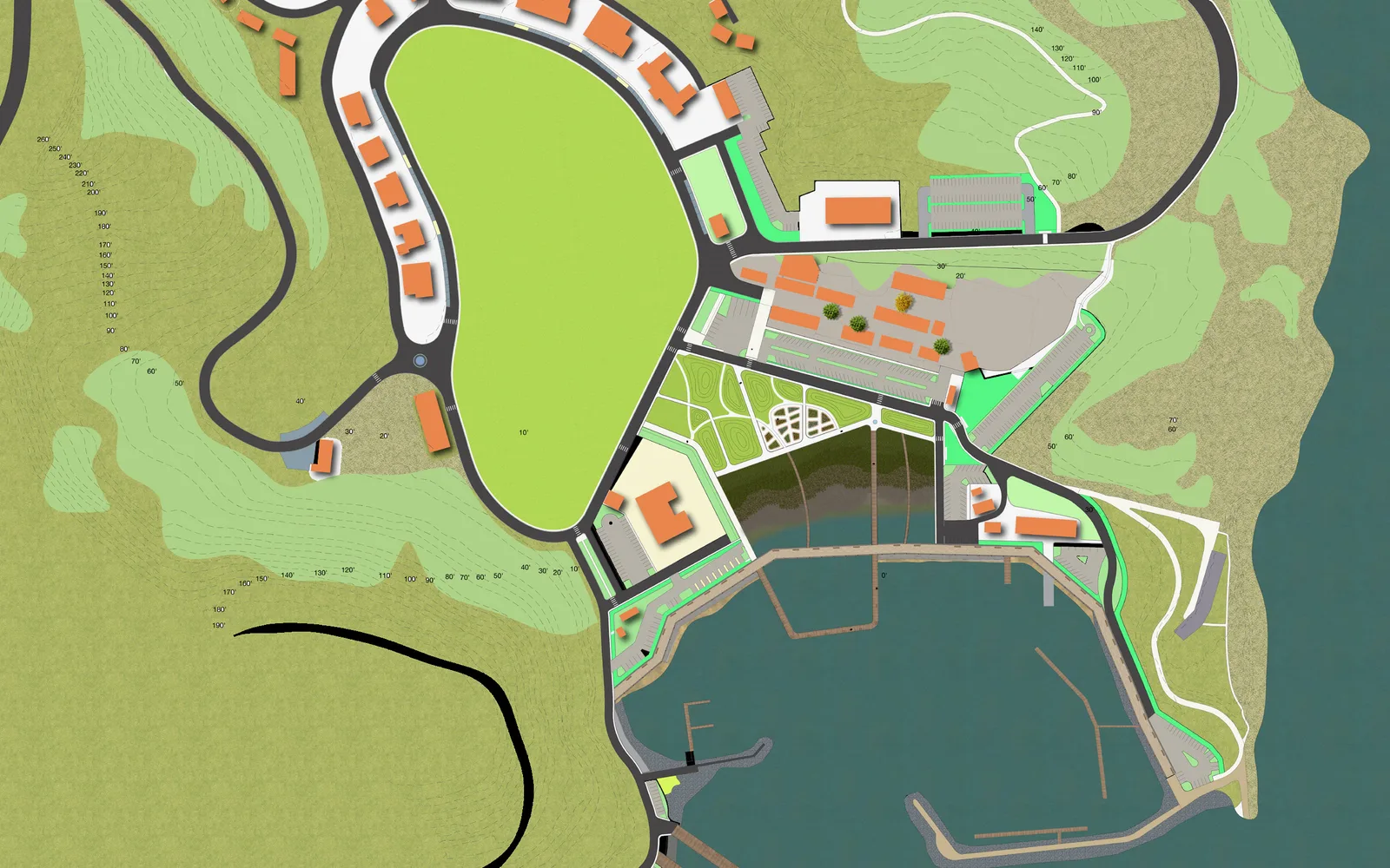 View project ↗
The returning marsh
Sausalito, California · Master Planning · 2026
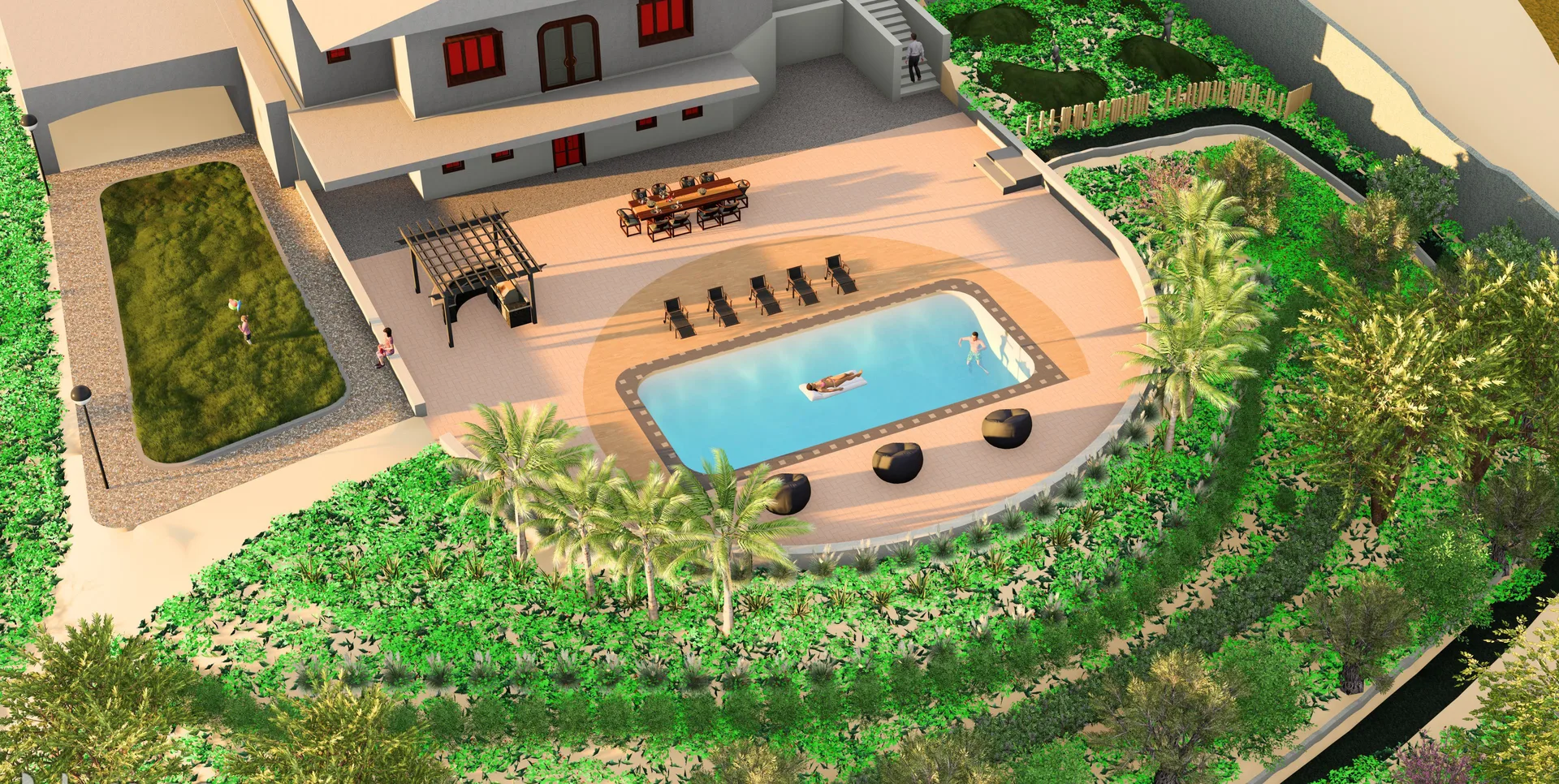 View project ↗
Legacy Hillside Residence
San Rafael, California · Residential · 2026
Four scales, one way of reading land.
The studio works from a courtyard to a catchment. The drawing gets larger, but the questions stay the same: what the ground holds, where water goes, what will grow, and how the place changes over time.
Garden & courtyard
Private gardens, courtyards and the ground around a building, where planting, shade, water and paving are designed at the scale of the hand and the foot.
- Planting design
- Layout and levels
- Irrigation
- Construction drawings

Estate, campus & public space
Residences, estates, hotels, campuses and parks, where arrival, movement, outdoor rooms and planting are organised across a whole property.
- Site planning
- Landscape master plan
- Planting strategy
- Visualisation

Farm & productive land
Farms, plantations and agroforestry, where fields, water supply, access and shelter are planned together as one working system.
- Farm master plan
- Irrigation and water storage
- Agroforestry
- Phasing

Watershed & territory
Catchments, corridors and large holdings, read through mapping and analysis before anything is drawn: where water gathers, where land holds, where it is fragile.
- Site analysis
- GIS mapping
- Water-sensitive strategy
- Ecological planning

Four layers, read together.
- 01
Ground
Soil, slope, access and what the site already holds.
- 02
Water
Where rain falls, collects and moves, and what the site can store or supply.
- 03
Living layer
Planting, habitat and production, chosen for the climate and the soil.
- 04
Time
Phasing, establishment and care, so the landscape improves as it matures.
in mind?
Let’s discuss your site, project or collaboration.
